With Arkansas anticipated to see even more storms, flooding has become a primary concern. Here’s a list of roads and other areas that have closed due to flooding.
LITTLE ROCK, Ark. — Arkansas has dealt with multiple rounds of severe weather this week, producing strong winds, heavy rain, and even tornadoes in some areas.
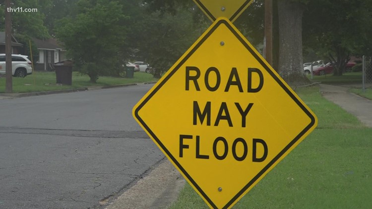
With the state seeing even more storms to close out the week, flooding has become a primary concern for parts of Arkansas.
On Saturday morning, a flash flood emergency was issued for parts of Arkansas due to the ongoing downpour.
The Jefferson County Office of Emergency Management issued a warning that the National Weather Service predicted the Arkansas River level at Pine Bluff will rise to approximately 44 feet by Tuesday, April 8.
This may cause minor flooding, and roads inside the levees will be closed.
The rain accumulation has forced some roads to close due to flooding —here’s a look at which roads have been closed due to flooding and other areas closed due to the rain.
Closed roads:
Arkansas County
State Highway 130 — Downed power line
Clay County
Highway 62
Highway 119
Highway 90
HIghway 49
Clark County
Crittenden County
Cross County
Fulton County
Highway 223
Highway 9
Highway 395
Hempstead County
Hot Spring County
Jackson County
State Highway 237
State Highway 37
Lonoke County
7500 block of Highway 38 due to a collapsed part of the road
Miller County
Pulaski County
Higgins Switch Road at Williams Road
Jim Hall Road
W. Fisher Road at Marche Road
Lunn Road
West Dixon Road
Ironton Road
Ironton Cut Off
Arch Street near the Little Rock Training Academy
Jim Hall Road in Jacksonville
Ruth Lane
Rosenberger
Rixie Road
Trammell Road in North Little Rock
Interstate 30
According to the Little Rock Fire Department, several roads are closed including University and Broadmoor, Talmadge Drive, South Izard, North Spruce and Arrow Ridge Court. Click here for more.
Prairie County
Randolph County
State Highway 231
State Highway 166
Saline County
Shaw Bridge Road
Tull Bridge Road/Hwy 291
Holly Creek Road
S. Sardis Road
Searcy County
Sebastian
Sharp
US Highway 63
State Highway 58
State Highway 342
State Highway 175
White County
Other areas:
Images submitted by a THV11 viewer showed heavy road damage along Highway 333 near Marshall. There’s currently no information on if the road is officially closed.
The rain also impacted Central Arkansas, as the North Little Rock Parks Department closed the following areas at 3:30 pm. Those areas will remain closed until further notice. Please be respectful of all barricades and closures, as they are in place for your safety.
The Arkansas River Trail from the Championship Drive and Tournament Drive intersection to the Big Dam Bridge
The Burns Park Soccer Complex
Isabella Jo Trail
Pfeifer Loop Trail
Cooks Landing (left section toward the Big Dam Bridge)
The Arkansas River Trail east of Riverview Skate Park
To see images of the closures you can click here. We will update this article as more closures are announced.
The post Flooding in Arkansas closes multiple roads, areas appeared first on World Online.